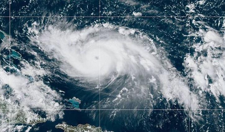
Hurricane Dorian tracks slightly north, with winds of 140 km
3 || risingbd.com

International Desk: Hurricane Dorian lifted slightly north Friday night, according to the National Hurricane Center’s latest forecast track at 11 p.m.
While that appears to be better news for South Florida, most of the state remains in the cone of uncertainty.
The Category 4 storm could be near the east coast of Florida late Monday. Its current maximum sustained winds are 140 mph. Some additional strengthening is possible tonight and Saturday.
The forecast track is still heading generally northwest, with Dorian 545 miles east of West Palm Beach. But first, it is expected to make a devastating impact on the northern Bahamas.
Dorian is expected to slow Monday evening as it nears the Florida coast, and make landfall anywhere within the cone possibly as early as Tuesday afternoon.
A rightward shift in the cone earlier in the evening moved the center of the storm track to Martin and St. Lucie counties and reflected the chance the storm could take a hard right turn and spare Florida a direct hit.
The latest atmospheric data indicates the slow-moving hurricane could start its much-anticipated wheel to the north before reaching Florida, which would bring its point of landfall farther up the coast, according to NHC’s Friday evening advisory.
But the hurricane center said models have not been consistent and that the entire east coast of the state remains a possible target for a storm projected to achieve wind speeds of 140 mph by the time it hits land, possibly on Tuesday afternoon.
Agencies
risingbd/Dhaka/Aug 31, 2019/Nasim
risingbd.com


